Construction Progress Drone Photography & Video
Aerial progress photos and 4K video that document every phase of your build across Augusta, GA and the CSRA.
FAA Part 107
Certified commercial pilot
24–48 Hours
Typical turnaround
17 Five-Star Reviews
Rated on Google
Document every phase from groundbreaking to completion
A regular aerial record shows owners, general contractors, lenders, and stakeholders exactly where a project stands. Drone progress photos and video capture grading, foundations, structure, and finishes from angles no one can get from the ground, and they build a dated record you can refer back to.
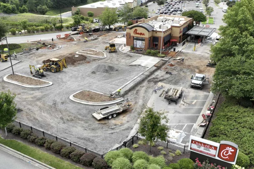
Pro Drones 360 flies recurring or one-time site visits in Augusta, GA and the surrounding area, including projects like the Chick-fil-A remodel in North Augusta. We deliver organized, edited files, typically within 24 to 48 hours, and can discuss aerial mapping for larger sites.
- Scheduled progress photos and 4K video
- Before, during, and after site documentation
- Overview shots for owners, lenders, and marketing
- Aerial mapping available for larger sites
Follow your project phase by phase
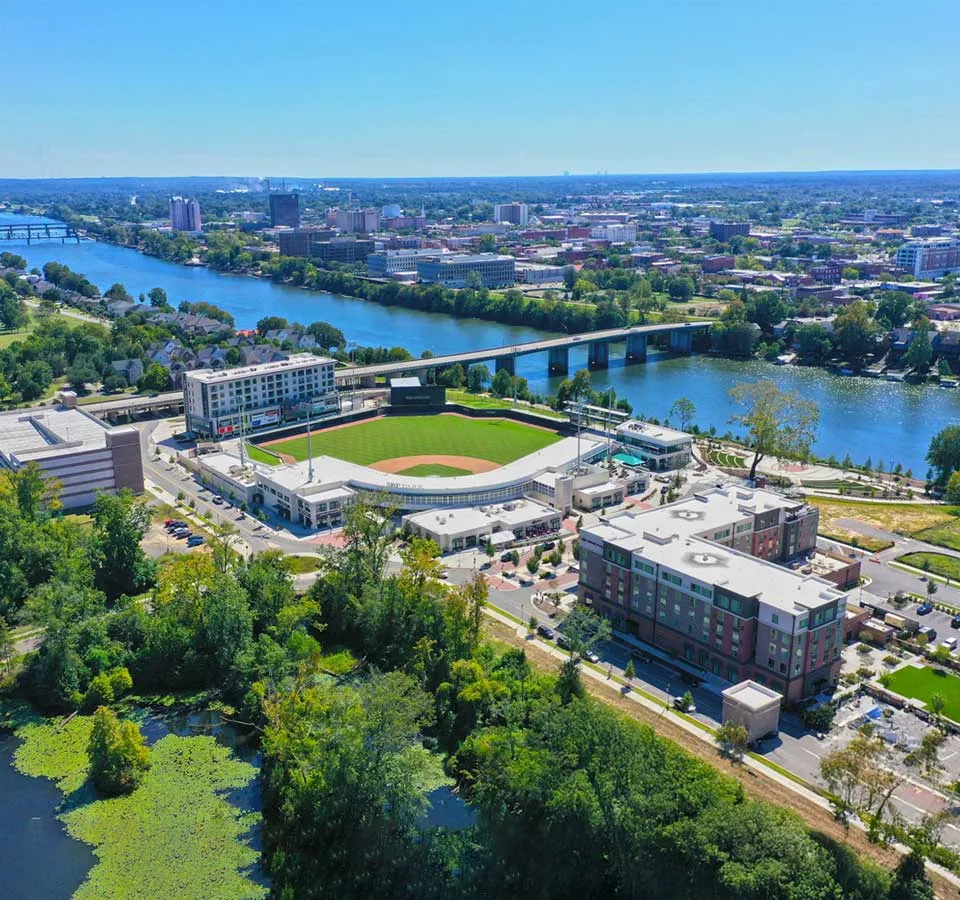
Pick a phase to see what an aerial visit captures. Recurring flights stack up into a visual timeline you can share.
Phase 1 of 5 Site prep & grading
Aerial overviews of clearing, grading, and site access create a dated baseline before the build begins.
Plan your flight scheduleFrequently asked questions
How often should construction progress photos be taken?
Many projects use weekly or monthly flights, plus key milestones such as foundation, framing, and completion. We’ll suggest a schedule that fits your project length and reporting needs.
Can drone footage be used for client and lender updates?
Yes. Dated aerial photos and video make progress easy to share with owners, lenders, and other stakeholders, and they work well for marketing too.
Do you offer aerial mapping for construction sites?
Mapping is available for larger sites. Contact us with the site size and what you need to measure or document, and we’ll tell you what’s practical.
Are your flights licensed and insured?
Yes. Every flight is conducted by an FAA Part 107 certified pilot and is fully insured, which site managers often ask for before allowing access.
More drone services in Augusta, GA
Industrial
Facility overviews and cinematic video of plants, warehouses, and industrial sites.
Explore IndustrialCommercial Property
Aerial photos and video of commercial buildings, development sites, and land parcels.
Explore Commercial PropertyRoofing Inspection
High-resolution roof imagery for damage assessment and maintenance, with no climbing.
Explore Roofing InspectionGot a project?
Ready to document your construction project?
Tell us about your site and schedule and we’ll plan progress flights that fit your project. Quotes are free and come with no obligation.